 Sign in to Mod The Sims
- Site Map >
- Modding and Creation >
- Sims 3 Creation >
- Create a World >
- Other - CAW Heightmaps from heightmap.skydark.pl
- Site Map >
- Modding and Creation >
- Sims 3 Creation >
- Create a World >
- Other - CAW Heightmaps from heightmap.skydark.pl
Replies: 4 (Who?), Viewed: 399 times.
#1
 27th Feb 2024 at 8:47 AM
27th Feb 2024 at 8:47 AM
Posts: 8
I have been working on a town with Sims 3 Create-a-world tool and found out there are websites where you can download heightmaps of a real town. I thought it would be easier to use real heightmaps instead of painting and sculpting them myself. But when I try to download a heightmap from heightmap.skydark.pl it doesn't show in my CAW tool. It is a png file and I changed the pixel size to 1024 x 1024 but when I try to use the map in CAW it just shows me a flat medium sized map. I don't know what I'm doing wrong or is the site somehow outdated idk. I have moved the resized heightmap to CAW / UserToolData / HeightMaps and it looks the same as the other heightmaps and I can choose that in CAW but when it loads it, it just shows a flat map.
Any ideas how can I make it work?

These are the auto settings I'm using
Advertisement

#2
27th Feb 2024 at 9:01 AM
27th Feb 2024 at 9:01 AM
Posts: 1,602
Thanks: 3294 in 15 Posts
A CAW heightmap needs to be a 16 bit greyscale png. Maybe that's the issue here?
Also, you might find that those real world maps are way too detailed and have too large scale in order to be useful in CAW. Best to chose the smallest scale possible. You will have to adapt to Sims dimensions.
Also, you might find that those real world maps are way too detailed and have too large scale in order to be useful in CAW. Best to chose the smallest scale possible. You will have to adapt to Sims dimensions.
tumblr Simszoo
Need help building? Click Here
CAW Guide for Beginners - Northeney - Woeford - Cronor - Saturenorn - Lago Simiore
Need help building? Click Here
CAW Guide for Beginners - Northeney - Woeford - Cronor - Saturenorn - Lago Simiore
#3
27th Feb 2024 at 9:54 AM
27th Feb 2024 at 9:54 AM
Posts: 486
Thanks: 10 in 2 Posts
+1 that it's likely just the formatting, as that's the only 'special' thing really if the image it exported looks as expected. Possible to fix in an image editor. They're also quite subtle, increasing the contrast might yield more appropriate results.
If it makes you feel any better about struggling with that tool though, look at this pathetic height map it makes of the area I wanted to make a world of:
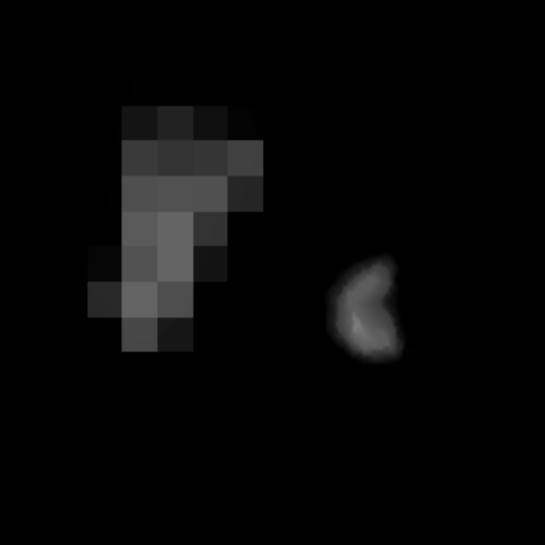
The saddest little bean and censored chicken drumstick I've ever seen
(The Diomedes Islands- the big one is Russian territory, not permitted to be included in satellite mapping alongside its Alaskan little sister.)
If it makes you feel any better about struggling with that tool though, look at this pathetic height map it makes of the area I wanted to make a world of:
The saddest little bean and censored chicken drumstick I've ever seen

(The Diomedes Islands- the big one is Russian territory, not permitted to be included in satellite mapping alongside its Alaskan little sister.)
#4
29th Feb 2024 at 5:22 PM
29th Feb 2024 at 5:22 PM
Posts: 8
Quote: Originally posted by Norn
|
A CAW heightmap needs to be a 16 bit greyscale png. Maybe that's the issue here? Also, you might find that those real world maps are way too detailed and have too large scale in order to be useful in CAW. Best to chose the smallest scale possible. You will have to adapt to Sims dimensions. |
I checked the png and it's 32 bits. How do I change it to 16? Are there any other apps that can change that because my computer seems to only show the photo info.
#5
29th Feb 2024 at 7:32 PM
29th Feb 2024 at 7:32 PM
You need to edit it in a photoediting program.
To change this in Photoshop, use the Image > Mode menu to set it to Greyscale and 16 Bits/Channel.
In GIMP- Image>Mode>Greyscale and Image>Precision>16 bit Integer.
Make sure you only have a single layer (no alpha).
To change this in Photoshop, use the Image > Mode menu to set it to Greyscale and 16 Bits/Channel.
In GIMP- Image>Mode>Greyscale and Image>Precision>16 bit Integer.
Make sure you only have a single layer (no alpha).
I will choose a path that's clear- I will choose free will
-RUSH- -RADIO- -RADIO- -EON- -ARCHIVES-
Simpeople and Me Archive- 11Dots Archive- My Sims World Archive- Sims 1 Archive
Angel Classic Rock Mix!
-RUSH- -RADIO- -RADIO- -EON- -ARCHIVES-
Simpeople and Me Archive- 11Dots Archive- My Sims World Archive- Sims 1 Archive
Angel Classic Rock Mix!
Who Posted
|
|